Jun 19th 2026
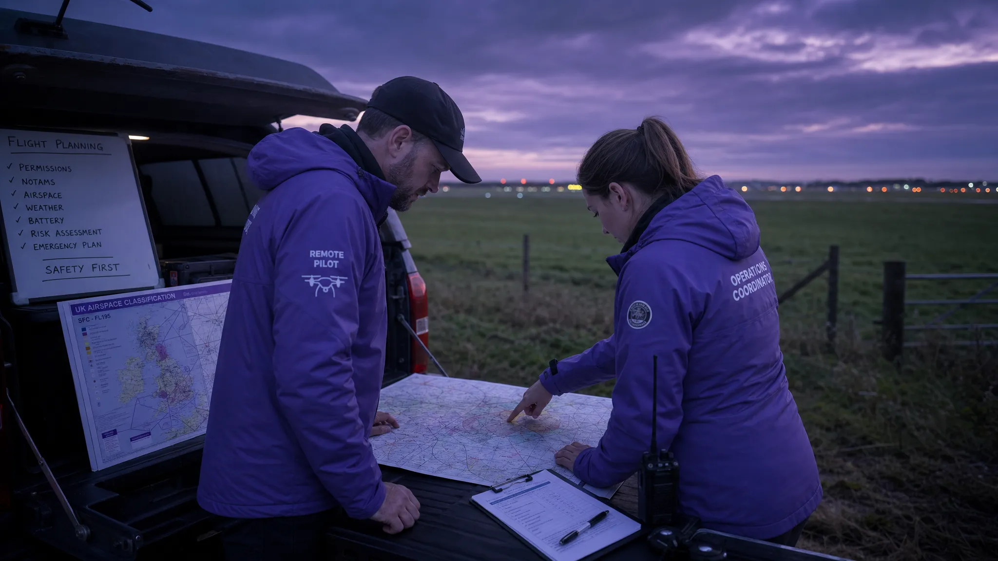
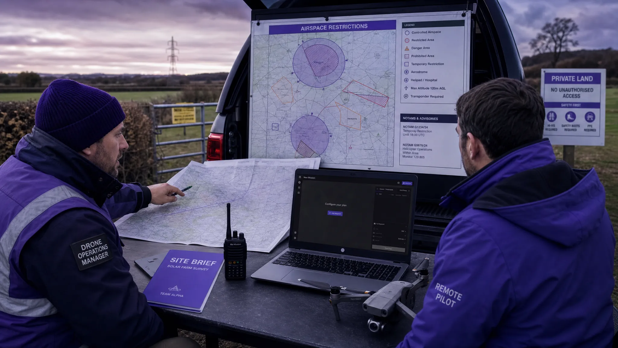
How to Use a Drone Flight Restrictions Map Safely
Learn how to use a drone flight restrictions map safely, check FRZs and NOTAMs, plan compliant UK operations, and avoid costly mistakes.
Learn how to use a drone flight restrictions map safely, check FRZs and NOTAMs, plan compliant UK operations, and avoid costly mistakes.
Use this drone airspace map guide to read UK airspace layers, spot restrictions, check NOTAMs and plan safer compliant flights.
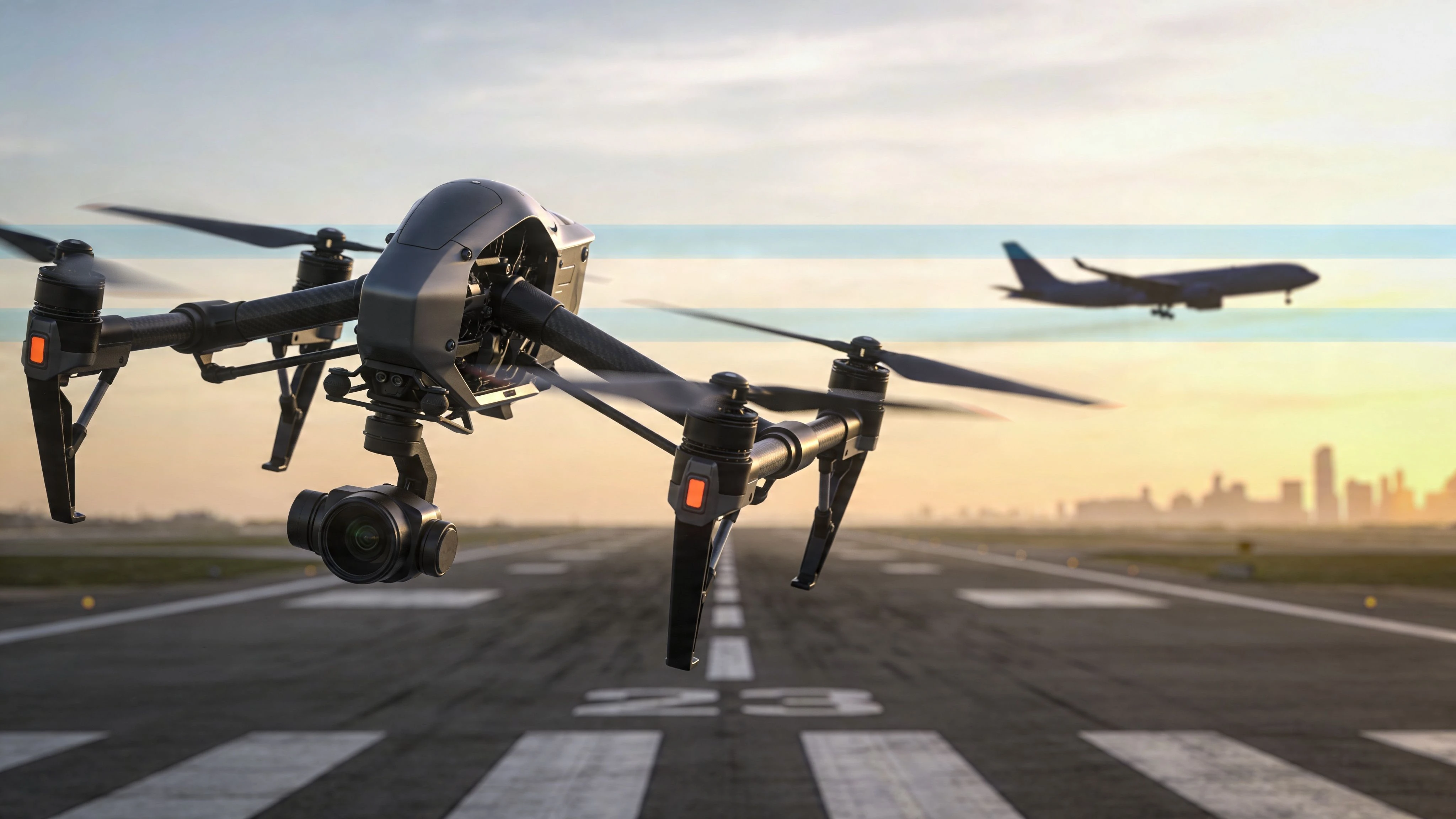
Flying drones near Class A airports? Understand Class A airspace, its strict regulations, and how to plan compliant unmanned operations with our guide.
Master the DJI Fly Safe Map. This guide explains geo-zones, unlock requests, and pre-flight compliance to help you fly safely and legally.
Searching for a place to fly drone near me? Discover the 7 best apps, maps, and directories for finding legal and scenic spots to fly in 2026.
Understand every class of airspace to plan safe and compliant drone flights. Our guide breaks down controlled vs. uncontrolled zones for UAS operators.
Struggling with where to fly my drone? This guide breaks down airspace rules, local laws, and essential apps for safe and legal professional operations.
Unlock new flying locations with our guide to the Class G airspace map. Learn to identify uncontrolled airspace for safe, compliant drone flights.
Learn how to plan a safe drone flight near airport with airspace checks, authorizations, ATC coordination, and essential tools for full compliance.
Decode the Class D airspace map with confidence. This guide explains symbols, altitudes, and how to plan safe drone flights using sectional charts.